About Byron Bay Hinterland
The Byron hinterland is situated in the Northern Rivers region of NSW, Australia. It was carved out by a volcanic eruption that happened approximately 20 million years ago. The volcano’s lava flow covered more than 5000 square kilometres in all directions, and about 100 kilometres out to sea, forming what is today the largest shield volcanic caldera in the Southern Hemisphere.
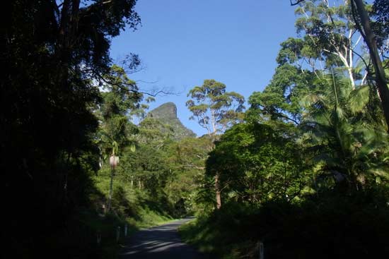
Mount Warning or ‘Wollumbin’, as it is known by the indigenous traditional owners, is the highest point in the region and dominates the Byron hinterland landscape. It is the remnant plug of this ancient volcano and has been eroded down to half its original height. As Byron is the eastern most point of Australia, Mount Warning is the highest point in the region and this is where the first rays of the sun hit mainland Australia.
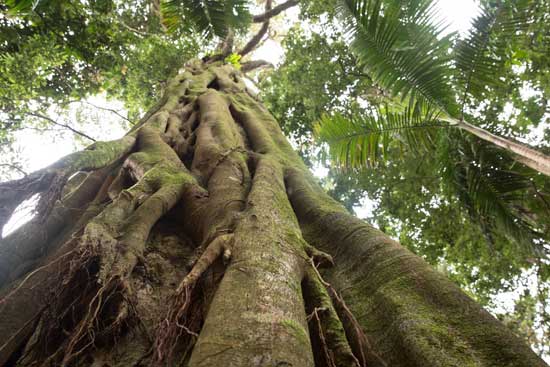
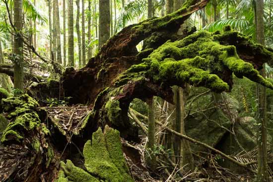
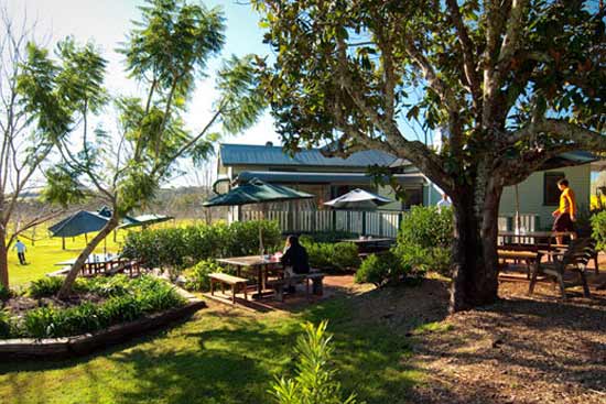
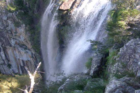
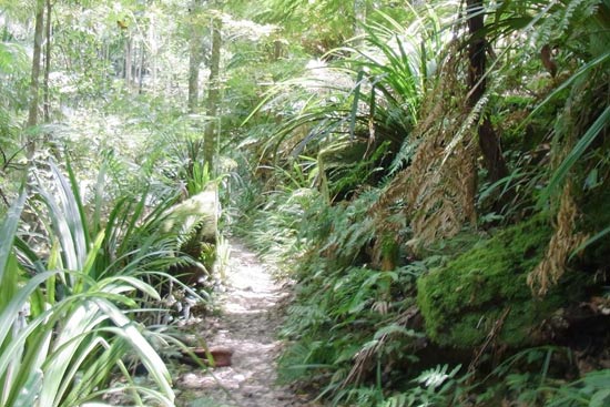
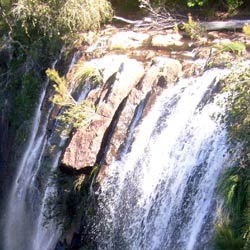
The Byron hinterland invites you to explore its World Heritage listed rainforests, spectacular waterfalls including Minyon Falls and historical hinterland towns. Community markets are held on almost every Sunday in Byron Bay or throughout the Byron hinterland where over 300 stalls transform sleepy hinterland towns into vibrant meccas of arts, crafts, live music and locally sourced delicious food.